
Project description
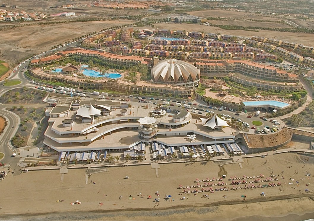
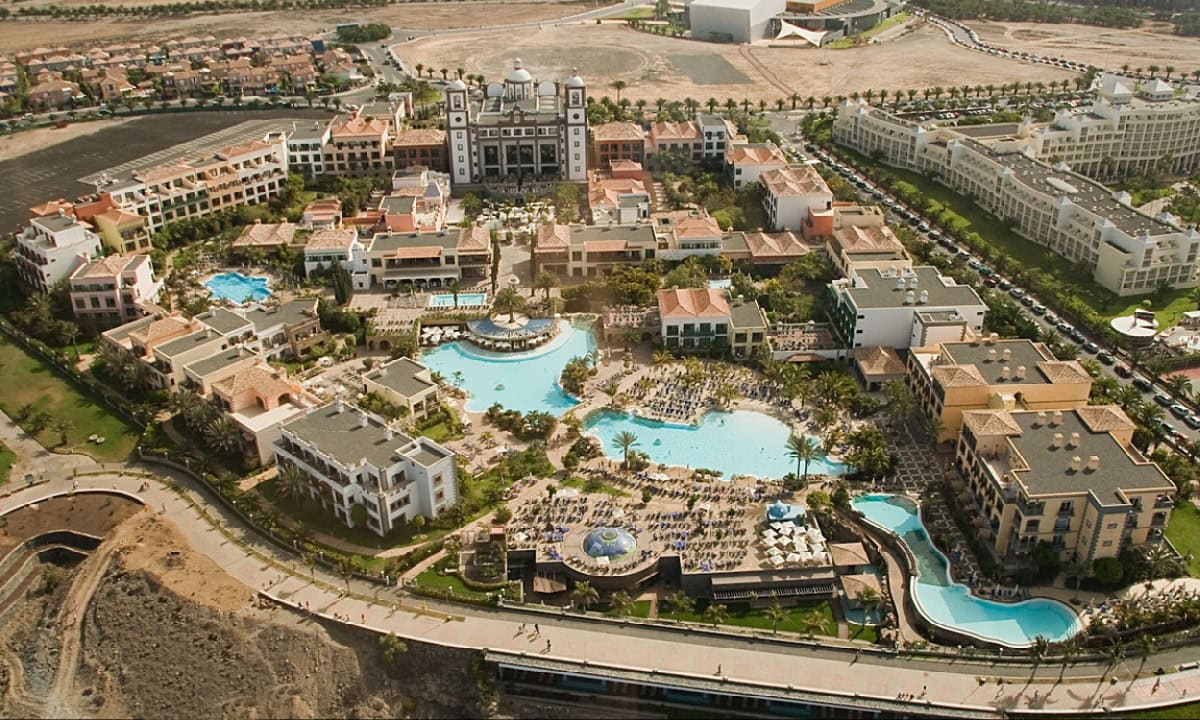
The 2-A “Meloneras” development, now called “Costa Meloneras”, is in the south of the island of Gran Canaria, in the municipality of San Bartolomé de Tirajana, bounded by the GC-812 road to the north and the Atlantic Ocean to the south. It covers 122.29 ha, of which 924,201 m2 are residential, commercial and public-facility plots, mainly single-family homes and large holiday hotels.
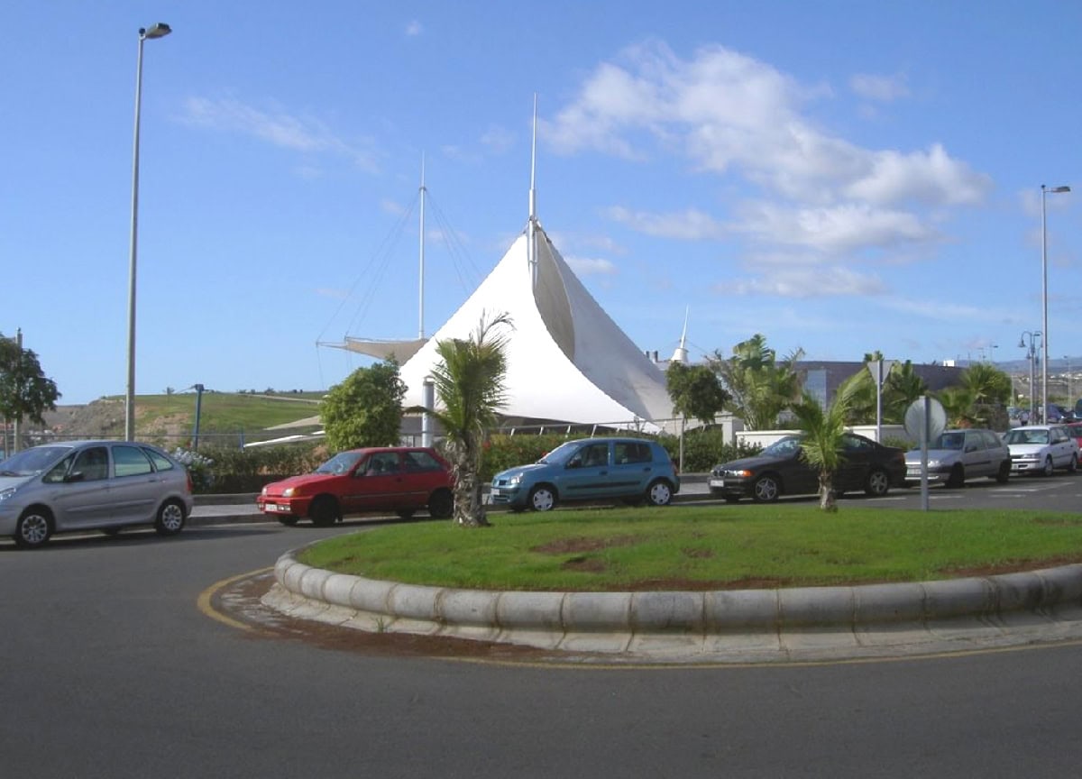
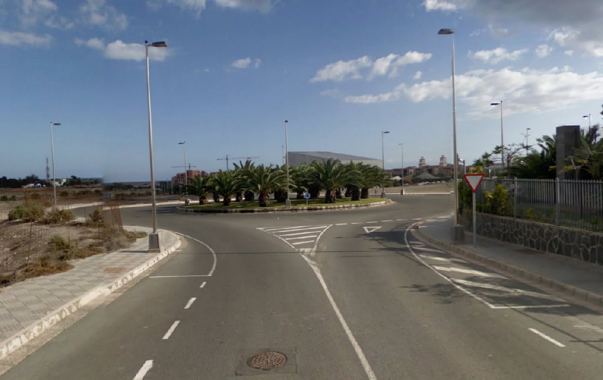
The development includes 19 roads with various typical sections, with total widths between 14 m and 23 m and a total length of 4,943 m. Curved alignments with radii between 60 m and 2,000 m were used in plan, with several roundabouts at the junctions. Gradients reach 6%, but only over short lengths. Building these streets required excavating 102,000 m3, some of it in rock, and placing 72,000 m3 of fill.
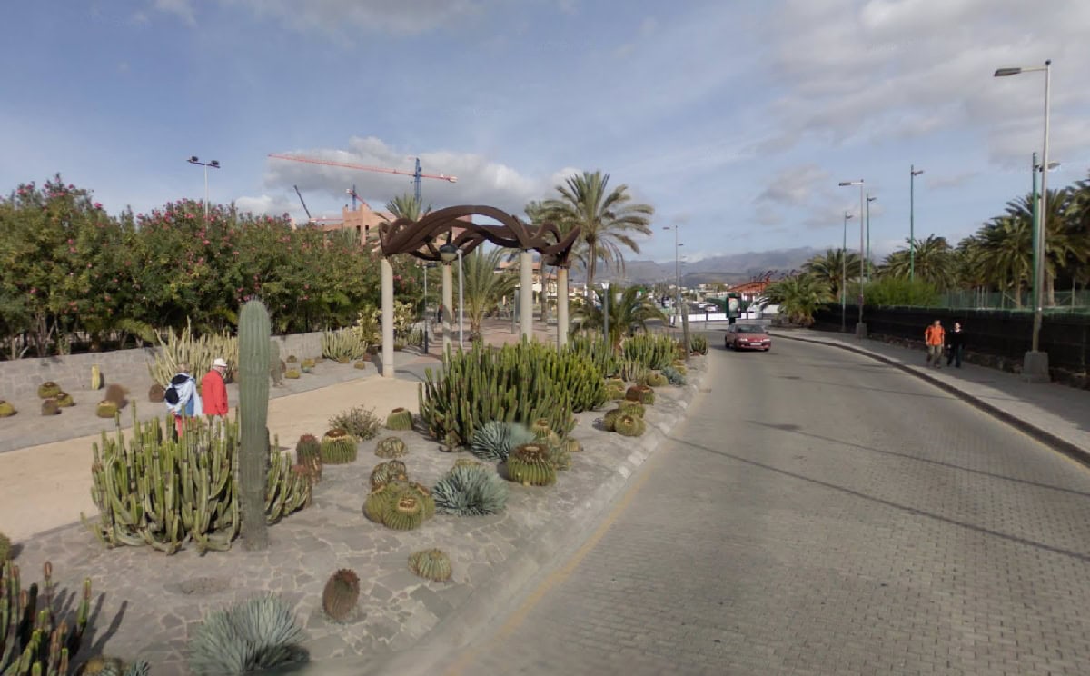
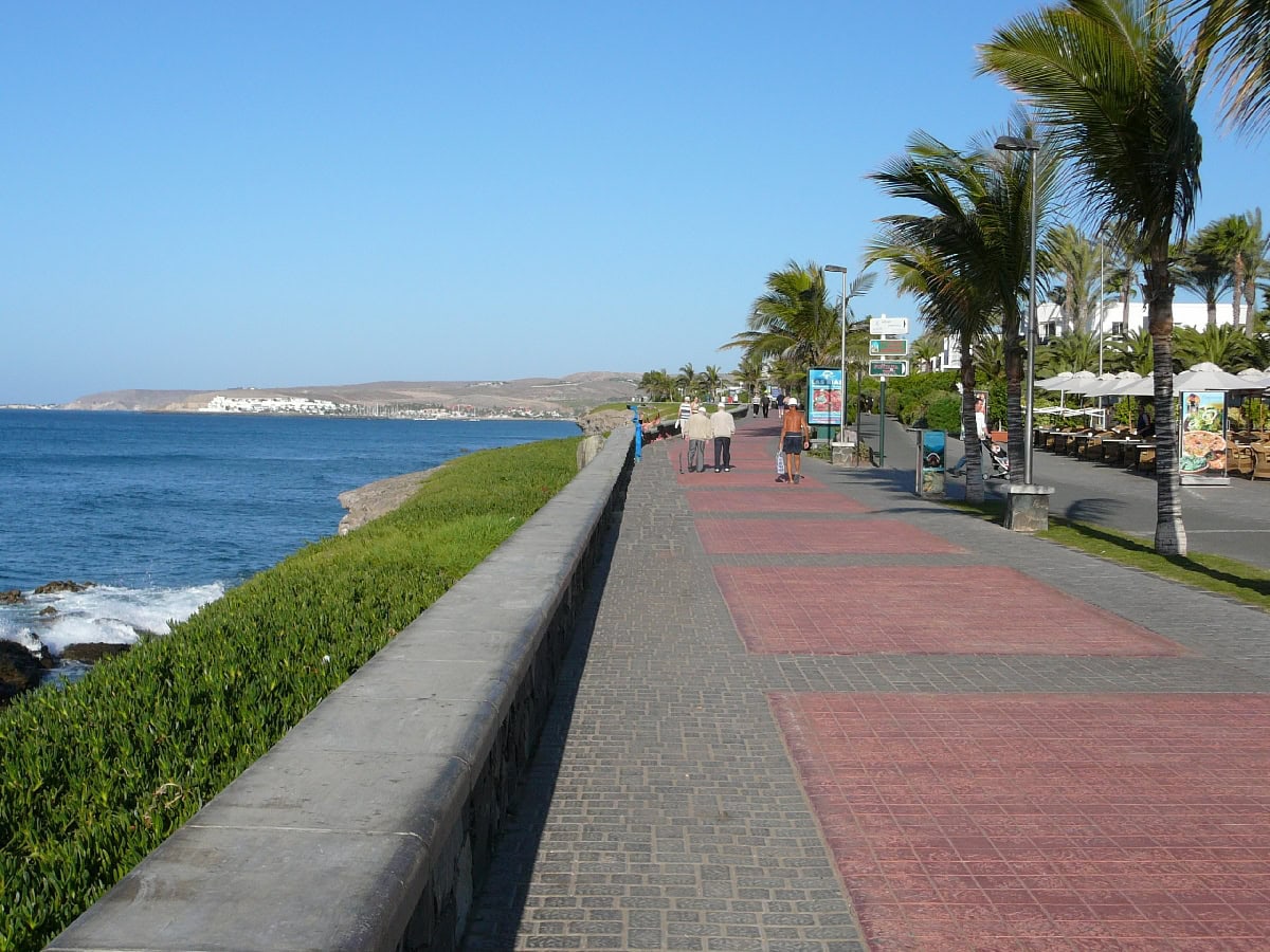
The project defines and lays out the planned pedestrian areas and green spaces, with access to the existing beaches and a coastal promenade that follows the terrain as closely as possible. These spaces are given carefully finished surfaces, paved or landscaped, street furniture, walls, lighting, etc., to achieve a landscape integration that enhances the clearly tourist character of the development.
The service networks include a water supply network with pipes of up to Ø150 mm connected to an existing main, a dedicated reclaimed-water irrigation network, a fire-fighting network, separate storm-water and wastewater networks discharging by gravity to existing outfalls, channelling of ravines, a power distribution network with 4,630 m of medium-voltage ducts and 12 transformer substations, a street lighting network with various types of lighting points along roads and pedestrian areas, and a telephone network.