
Project description
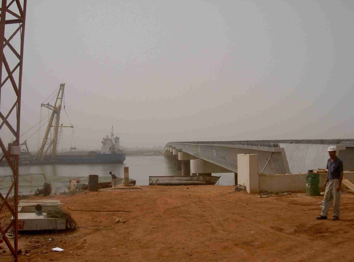
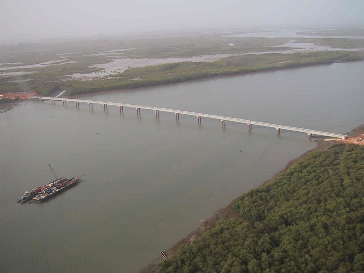
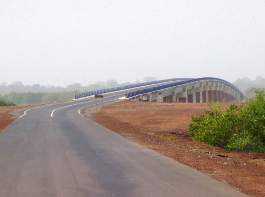
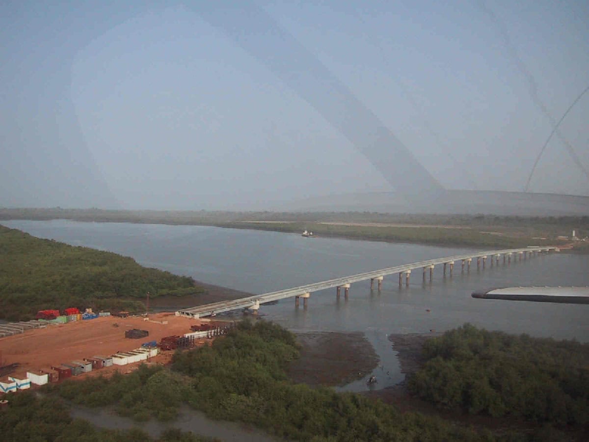
The road crossing the Mansoa River, which required the construction of the João Landim bridge, links the towns of Bissau and Bula and is part of the Dakar–Bissau route, within the West African Trans-African highway. Before the bridge was built, the road was interrupted and the river had to be crossed by barges for vehicles and pedestrians.
At high tide, the river is about 700 m wide at the bridge site. It is quite deep, between 15 and 20 m. The tidal range exceeds 5 m, which complicated the construction of the bridge.
The Mansoa River is navigable by barges and other shallow-draught vessels. Although river transport is almost non-existent, it was considered prudent to provide a 7.0 m vertical clearance for small vessels in the central part of the bridge.
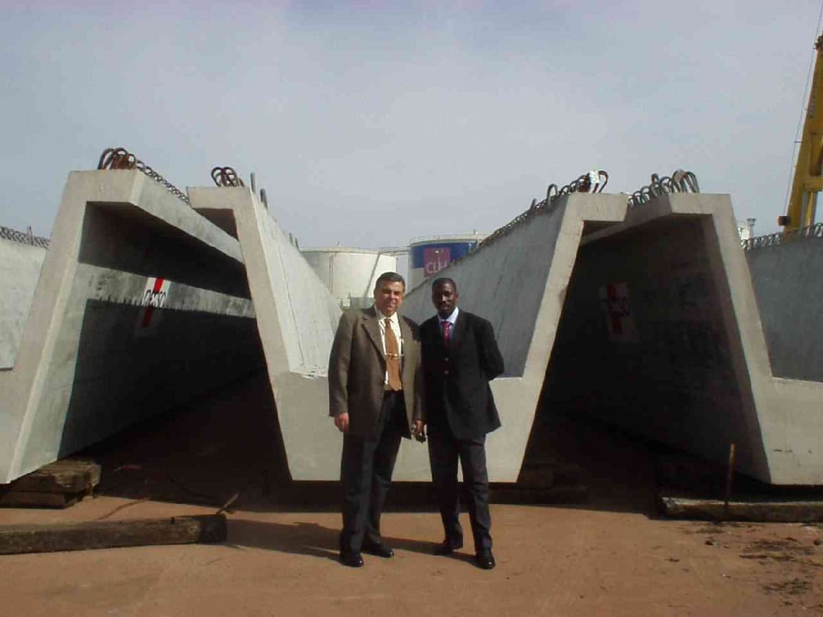
The river crossing consists of 16 simply supported 45 m spans. The deck is 11.0 m wide. The typical deck section is formed by two prestressed concrete U-girders, 44.20 m long and 2.20 m deep, on which the deck slab is cast. Notably, the girders were made in Spain and shipped to Guinea-Bissau from the port of Seville.
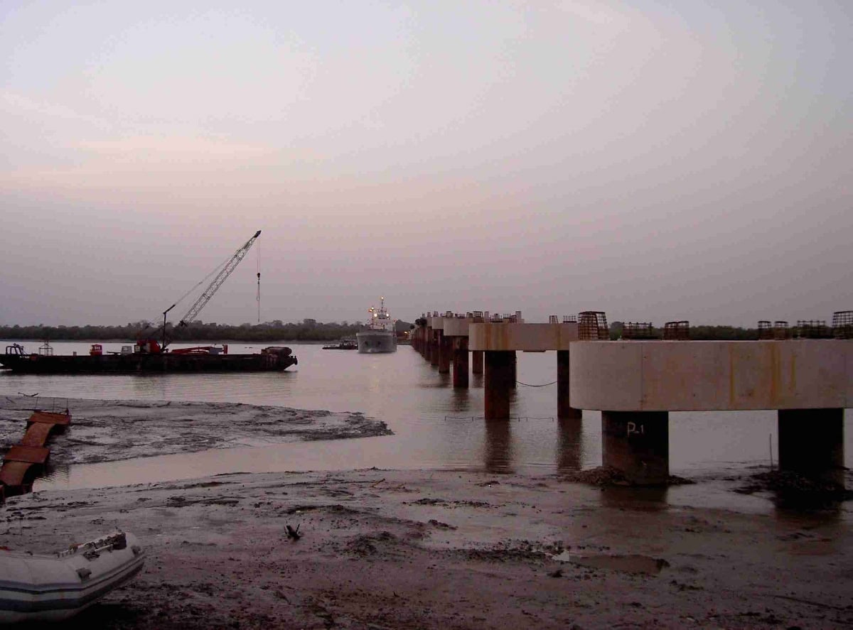
During the design phase, 80 m deep boreholes were drilled in the river bed, detecting a competent limestone layer at a depth of 67 m. Two bored cast-in-situ piles were built per pier, socketed into the underlying rock. A chisel was used to excavate the limestone deep enough to significantly increase the bearing capacity of the piles compared with their shaft resistance in the clays.
All the work on piles, pile caps and piers in the river had to be carried out with considerable water depth, currents and tidal fluctuations of the water level.
In addition to the bridge, the project includes the access sections connecting with the existing road, for a total length of 1,045 m. The access embankments are made of crushed quarry material. Their construction was very challenging given the low bearing capacity of the natural ground, a marsh of river deposits; a vertical drainage system was used, consisting of precast pipes and gravel columns up to 8 m deep and 0.90 m in diameter, in a staggered pattern of one per 4 m2, joined by a geotextile and a 0.50 m thick gravel capping layer. At the start of the works the embankments were built with a 1 m high surcharge as preloading, which was removed down to the final levels once settlements had been checked. The pavement of these approaches is flexible, with a 25 cm granular base and a 12 cm wearing course of cold bituminous mix (gravel-emulsion), finished with a bituminous seal coat.